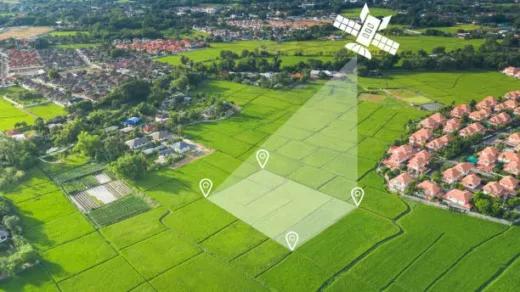
A useful method for identifying and keeping track of deforestation in agricultural areas is satellite-based monitoring. Here is how it is applied in agriculture to detect deforestation.
Satellites are able to collect detailed images of agricultural areas across time. Algorithms can analyse the changes in land cover and pinpoint regions where deforestation has taken place by comparing satellite photos collected at various periods. The detection of forest loss and conversion to agricultural land is made possible by this change detection methodology.
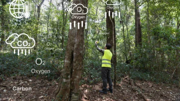
Satellite sensors are able to record optical imagery in the visible, near-infrared, and shortwave infrared ranges. Different levels of vegetation health and density can be seen using this imagery. Satellite-based monitoring can locate regions where forest cover has been removed or deteriorated by analysing these spectral fingerprints, potentially exposing deforestation.
Integration of Ancillary Data: Ground-based observations, land-use maps, and socioeconomic data, among others, can be integrated to improve satellite-based monitoring. Understanding the underlying causes of deforestation in agricultural areas is made possible by this integration, which enables a more thorough investigation of deforestation dynamics.
Early Warning Systems: Early warning systems for deforestation can be created using satellite-based monitoring. Alerts can be created when deforestation exceeds predetermined criteria or when unlawful activity is found by continuously monitoring forest cover and changes in land use. These early warning systems allow for prompt action and response to lessen the effects of deforestation on the ecosystem.