A variety of technologies are used in precision agriculture to collect information, make defensible judgments, and implement site-specific management techniques. Here are some crucial technologies that are frequently applied in precision agriculture:
Global Positioning System (GPS): GPS technology enables precise and accurate location tracking, allowing farmers to pinpoint the specific coordinates of their machinery, sensors, and crop monitoring equipment. GPS enables accurate mapping and geolocation data, which forms the basis for many precision agriculture applications.
Geographic Information System (GIS): GIS technology combines other agricultural data with spatial data, such as soil mapping, topography, and field borders. It enables site-specific decision-making and precision management techniques by enabling farmers to visualize, analyze, and manage data in a spatial context.
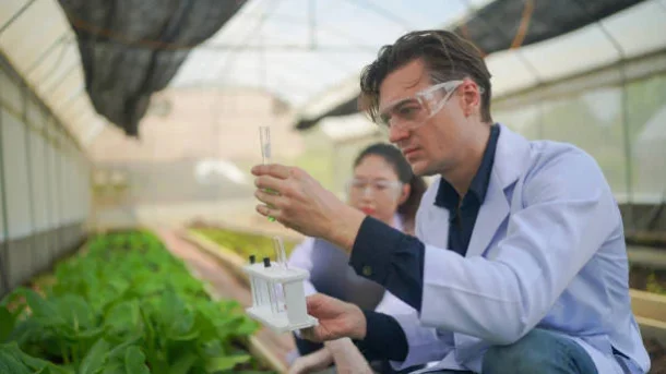
Using sensors on satellites, drones, or aircraft, remote sensing involves gathering information about crops and fields. Remote sensing techniques including thermal imaging, multispectral and hyperspectral imaging, and Light Detection and Ranging (LiDAR) can gather useful data on a variety of factors, including crop health, biomass, water stress, and nutrient content. Making targeted management decisions and spotting crop variability are both made easier by this data.
Drones, also known as unmanned aerial vehicles (UAVs) or drones, are being employed in precision agriculture more and more often. They can gather information on crop health, plant population, and other characteristics as well as high-resolution aerial photography. Monitoring crops, spotting anomalies, and evaluating field conditions may all be done effectively and economically with drones.