In order to better their farming practices and make informed decisions, farmers are increasingly utilizing remote sensing and data analytics technologies. Here are some examples of how these technologies are used:
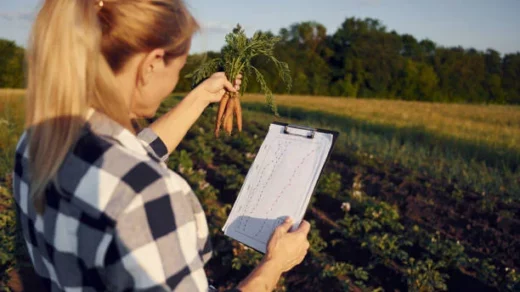
Monitoring and Analysis of Crop Yields: Data analytics platforms and remote sensing tools give farmers the ability to precisely monitor and assess crop yields. Data on crop performance across fields is gathered via yield monitoring systems, such as yield monitors and combine harvesters with yield mapping capabilities. Farmers can discover production variances, evaluate the efficacy of various practices, and make data-driven decisions for next planting, fertilization, or irrigation strategies by analyzing this data.
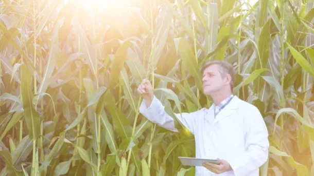
Application of Variable Rate in Precision Agriculture: Data analytics and remote sensing technologies are essential to precision agriculture. High-resolution information on crop health, nutrient levels, and pest infestations can be obtained using remote sensing equipment including satellites, drones, and aerial images. Farmers can use this information to construct variable rate prescription maps, which let them apply fertilizer, herbicides, and irrigation precisely based on the needs of various fields. This focused strategy minimizes negative environmental effects, lowers input costs, and optimizes resource use.