Remote sensing is the process of gathering data about distant objects or places, usually with the use of satellites, aircraft, or drones that are fitted with sensors. By offering useful insights into numerous aspects of vegetation and agricultural conditions, remote sensing technology can be utilized to monitor crop health. Here are a few applications of remote sensing in crop health monitoring or monitor crop health:
Vegetation Indices: Vegetation indices like the Normalized Difference Vegetation Index (NDVI) or the Enhanced Vegetation Index (EVI) can be calculated using remote sensing data, notably from satellite or airborne sensors. The amount of live, green vegetation that is present in a space is measured by these indexes. Following changes in these indices over time can reveal important details about the health, development, and vigor of a crop.
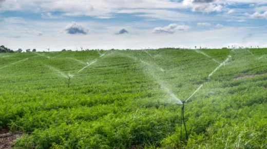
Crop Stress Detection: Using remote sensing, crop stress levels can be located and measured. It is possible to identify and map regions of the field that are undergoing water stress, heat stress, or other types of crop stress by examining several spectral bands and indices, such as the Water Stress Index (WSI) or the Temperature Vegetation Dryness Index (TVDI). Farmers who want to reduce stress and avoid yield losses might use this information to help them make timely irrigation or management decisions.
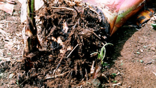
Remote sensing can help with the early identification of pests and illnesses that impact crops. Crop reflectance patterns can change subtly as a result of some diseases and pests, and remote sensing instruments can record these changes. Crop spectral signatures can be examined to identify patterns connected to certain diseases or pests.